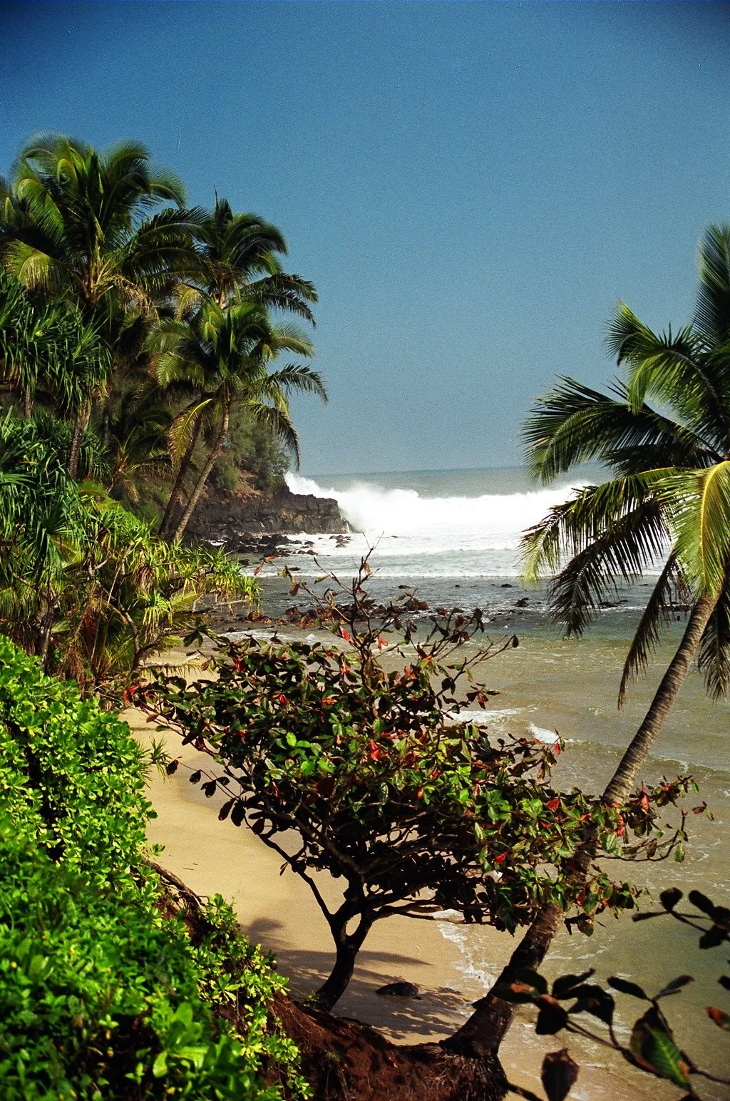
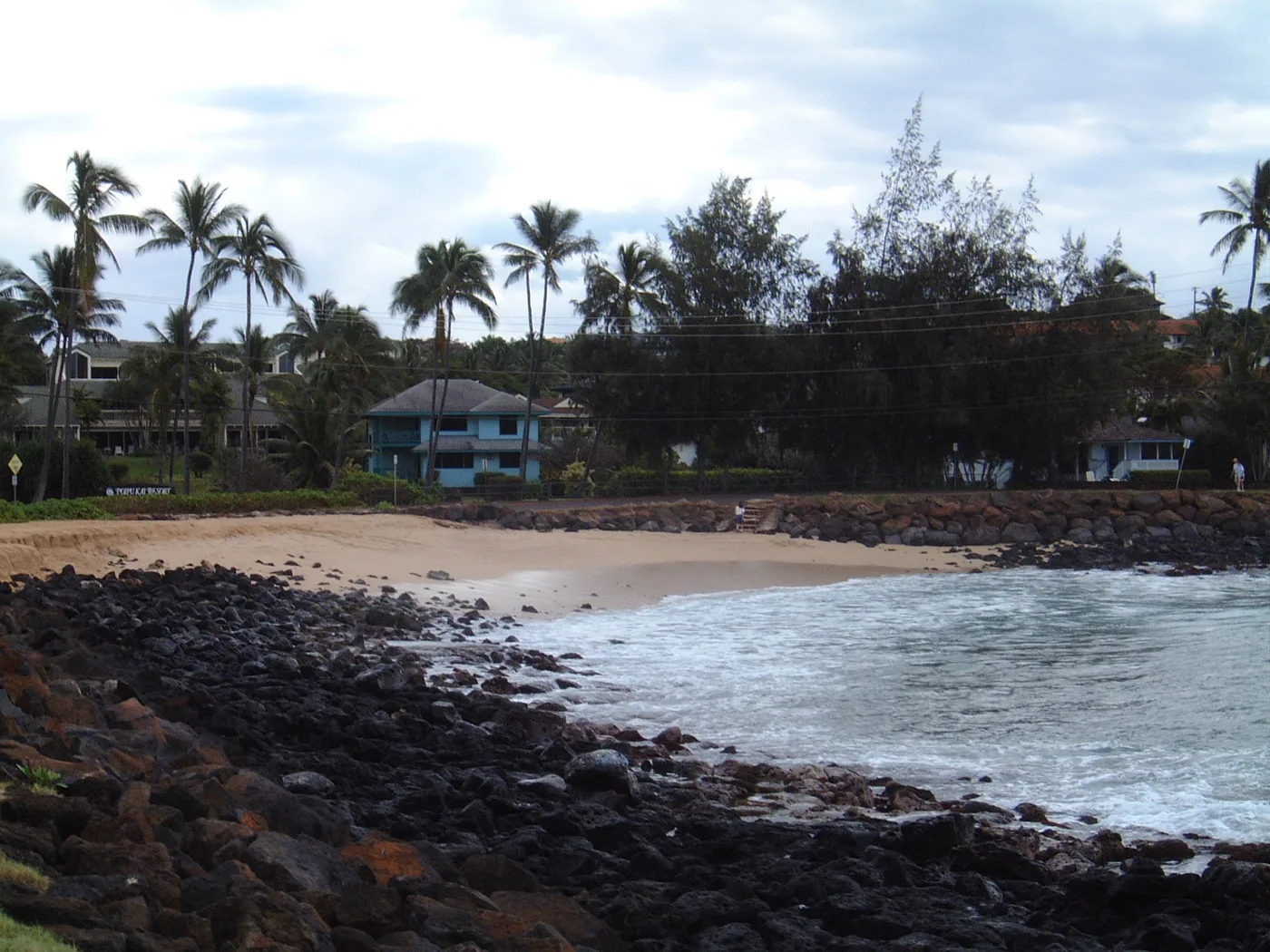
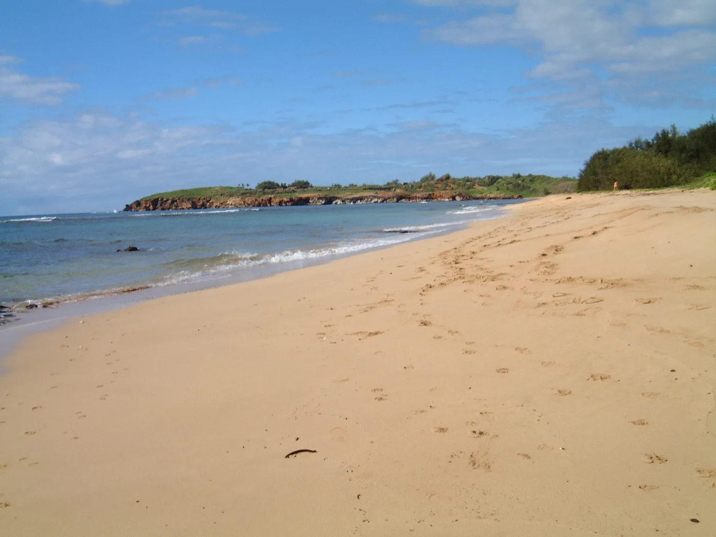
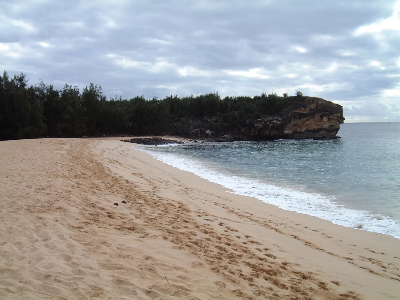
Home / Compare beaches Compare beaches Choose two or three beaches from any shore. See the coastline in the resident’s photos and compare the facilities each guide can confirm.
First beach Choose a beach Ahukini First Beach Ahukini Second Beach Aliomanu Beach Anahola Beach Park Anahola Point Anahola River Mouth Anapalau Coconut Beach Donkey Beach (Kealia Kai) Fuji Beach Hanamāʻulu Beach Park Hauola Shoreline Ka Lauau Kaha Lani Beach Kalapaki Beach Kamalani Kai Kapaʻa Beach Park Kapaʻa Boat Harbor Kapaʻa Flats Kauai Beach Boy Shoreline Kealia Beach Kuaehu Point Lae Nani Beach Lae o Kailiu Lydgate Beach Park Marine Camp Shoreline Moloaʻa Bay Ninini Point Nukoliʻi Beach Opana Point Opoi Shoreline Papaʻa Bay Papaloa at Kapaʻa Sands Papaloa Coast Pono Kai Shoreline Running Waters South Lydgate Beach Waikaea Wailua Beach (Horners) Wailua River Mouth Waipouli Beach Barking Sands First Ditch Glass Beach Hanapēpē Bay Hoanuanu Bay Honopū Beach Kaumakani and Kaluapuhi Kekaha Beach Park Kīkīaola Harbor Kinikini Ditch Beach Kokole Point Kunakaiole Majors Bay (Waikapua Bay) Makaweli Landing Miloliʻi Beach Nohili Point Nuʻalolo Kai Oomano Point (Davidsons) Pāʻulaʻula at the Waimea River Pakala Point (West Side) Polihale State Park Poo Point Queen’s Pond at Polihale Salt Pond Beach Park Second Ditch Waimea Bay (Kauai) Waimea Pier Waimea Plantation Cottages Shoreline Hāʻena Beach Park Hāʻena Point Hanakāpīʻai Beach Hanalei Pavilion Hanalei Pier Hideaways Beach (Kenomene) Honu Point at ʻAnini ʻAnini Beach Park ʻAnini Road Shoreline Ka Lae o Kowali Kailiu Point Kakiu Point Kalalau Beach Kalihikai at ʻAnini Kalihiwai Bay Kauapea Beach (Secret Beach) Kēʻē Beach Kepuhi Point Kīlauea Bay (Rock Quarry) Kulikoa Point Lae o Kaonohi Lumahaʻi Bay Lumahaʻi River Mouth Makapili Rock Pakala Point at Larsen’s Pilaʻa Beach Pōhaku Malumalu Puʻu Poa Beach Tunnels Beach (Makua) Waiʻoli Beach Park Waikoko Beach Wainiha Bay Brennecke’s Beach Haula Beach Kamala Point Kawailoa Bay Keoniloa Bay (Shipwreck Beach) Kīpū Kai Bay Kolopa (Lāwaʻi Road) Kuahonu Bay at Kīpū Kai Kukuiʻula Harbor Lāwaʻi Bay Māhāʻulepū Beach Makawehi Cliffs Molehu Point Nukumoi Point Palama Pond Paoo Beach Poʻipū Beach Park Wahiawa Bay Waiohai Beach
Second beach Choose a beach Ahukini First Beach Ahukini Second Beach Aliomanu Beach Anahola Beach Park Anahola Point Anahola River Mouth Anapalau Coconut Beach Donkey Beach (Kealia Kai) Fuji Beach Hanamāʻulu Beach Park Hauola Shoreline Ka Lauau Kaha Lani Beach Kalapaki Beach Kamalani Kai Kapaʻa Beach Park Kapaʻa Boat Harbor Kapaʻa Flats Kauai Beach Boy Shoreline Kealia Beach Kuaehu Point Lae Nani Beach Lae o Kailiu Lydgate Beach Park Marine Camp Shoreline Moloaʻa Bay Ninini Point Nukoliʻi Beach Opana Point Opoi Shoreline Papaʻa Bay Papaloa at Kapaʻa Sands Papaloa Coast Pono Kai Shoreline Running Waters South Lydgate Beach Waikaea Wailua Beach (Horners) Wailua River Mouth Waipouli Beach Barking Sands First Ditch Glass Beach Hanapēpē Bay Hoanuanu Bay Honopū Beach Kaumakani and Kaluapuhi Kekaha Beach Park Kīkīaola Harbor Kinikini Ditch Beach Kokole Point Kunakaiole Majors Bay (Waikapua Bay) Makaweli Landing Miloliʻi Beach Nohili Point Nuʻalolo Kai Oomano Point (Davidsons) Pāʻulaʻula at the Waimea River Pakala Point (West Side) Polihale State Park Poo Point Queen’s Pond at Polihale Salt Pond Beach Park Second Ditch Waimea Bay (Kauai) Waimea Pier Waimea Plantation Cottages Shoreline Hāʻena Beach Park Hāʻena Point Hanakāpīʻai Beach Hanalei Pavilion Hanalei Pier Hideaways Beach (Kenomene) Honu Point at ʻAnini ʻAnini Beach Park ʻAnini Road Shoreline Ka Lae o Kowali Kailiu Point Kakiu Point Kalalau Beach Kalihikai at ʻAnini Kalihiwai Bay Kauapea Beach (Secret Beach) Kēʻē Beach Kepuhi Point Kīlauea Bay (Rock Quarry) Kulikoa Point Lae o Kaonohi Lumahaʻi Bay Lumahaʻi River Mouth Makapili Rock Pakala Point at Larsen’s Pilaʻa Beach Pōhaku Malumalu Puʻu Poa Beach Tunnels Beach (Makua) Waiʻoli Beach Park Waikoko Beach Wainiha Bay Brennecke’s Beach Haula Beach Kamala Point Kawailoa Bay Keoniloa Bay (Shipwreck Beach) Kīpū Kai Bay Kolopa (Lāwaʻi Road) Kuahonu Bay at Kīpū Kai Kukuiʻula Harbor Lāwaʻi Bay Māhāʻulepū Beach Makawehi Cliffs Molehu Point Nukumoi Point Palama Pond Paoo Beach Poʻipū Beach Park Wahiawa Bay Waiohai Beach
Third beach (optional) Choose a beach Ahukini First Beach Ahukini Second Beach Aliomanu Beach Anahola Beach Park Anahola Point Anahola River Mouth Anapalau Coconut Beach Donkey Beach (Kealia Kai) Fuji Beach Hanamāʻulu Beach Park Hauola Shoreline Ka Lauau Kaha Lani Beach Kalapaki Beach Kamalani Kai Kapaʻa Beach Park Kapaʻa Boat Harbor Kapaʻa Flats Kauai Beach Boy Shoreline Kealia Beach Kuaehu Point Lae Nani Beach Lae o Kailiu Lydgate Beach Park Marine Camp Shoreline Moloaʻa Bay Ninini Point Nukoliʻi Beach Opana Point Opoi Shoreline Papaʻa Bay Papaloa at Kapaʻa Sands Papaloa Coast Pono Kai Shoreline Running Waters South Lydgate Beach Waikaea Wailua Beach (Horners) Wailua River Mouth Waipouli Beach Barking Sands First Ditch Glass Beach Hanapēpē Bay Hoanuanu Bay Honopū Beach Kaumakani and Kaluapuhi Kekaha Beach Park Kīkīaola Harbor Kinikini Ditch Beach Kokole Point Kunakaiole Majors Bay (Waikapua Bay) Makaweli Landing Miloliʻi Beach Nohili Point Nuʻalolo Kai Oomano Point (Davidsons) Pāʻulaʻula at the Waimea River Pakala Point (West Side) Polihale State Park Poo Point Queen’s Pond at Polihale Salt Pond Beach Park Second Ditch Waimea Bay (Kauai) Waimea Pier Waimea Plantation Cottages Shoreline Hāʻena Beach Park Hāʻena Point Hanakāpīʻai Beach Hanalei Pavilion Hanalei Pier Hideaways Beach (Kenomene) Honu Point at ʻAnini ʻAnini Beach Park ʻAnini Road Shoreline Ka Lae o Kowali Kailiu Point Kakiu Point Kalalau Beach Kalihikai at ʻAnini Kalihiwai Bay Kauapea Beach (Secret Beach) Kēʻē Beach Kepuhi Point Kīlauea Bay (Rock Quarry) Kulikoa Point Lae o Kaonohi Lumahaʻi Bay Lumahaʻi River Mouth Makapili Rock Pakala Point at Larsen’s Pilaʻa Beach Pōhaku Malumalu Puʻu Poa Beach Tunnels Beach (Makua) Waiʻoli Beach Park Waikoko Beach Wainiha Bay Brennecke’s Beach Haula Beach Kamala Point Kawailoa Bay Keoniloa Bay (Shipwreck Beach) Kīpū Kai Bay Kolopa (Lāwaʻi Road) Kuahonu Bay at Kīpū Kai Kukuiʻula Harbor Lāwaʻi Bay Māhāʻulepū Beach Makawehi Cliffs Molehu Point Nukumoi Point Palama Pond Paoo Beach Poʻipū Beach Park Wahiawa Bay Waiohai Beach
Turn on JavaScript to change these beaches, or browse the directory .
Choose a beach above to see its details.
Playgrounds and ocean pools
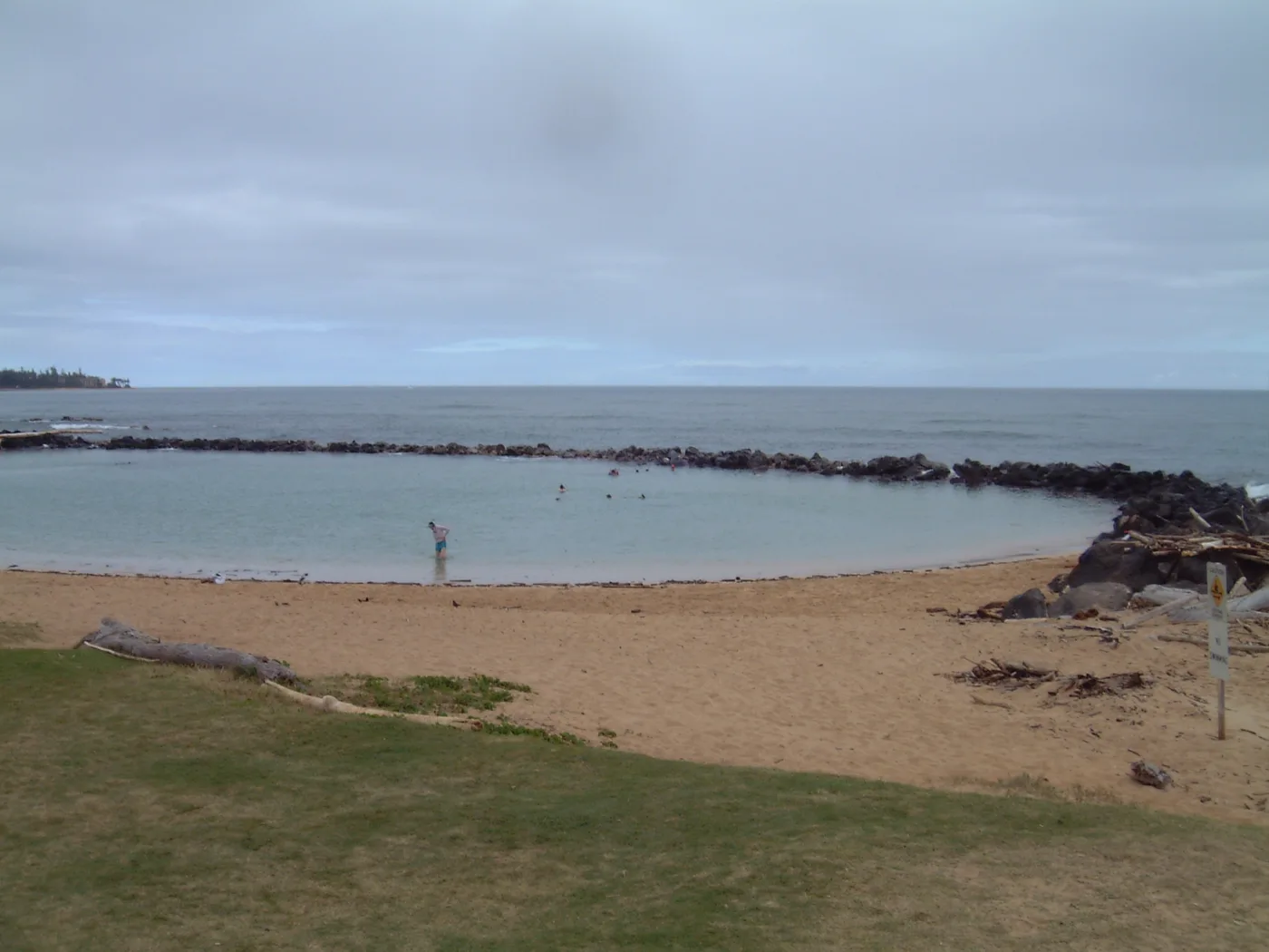
Playgrounds Kamalani Playground and an inclusive playground. Source Restrooms Restrooms near the Nalu Road end of the coastal path. Source Picnic areas Picnic shelters and pavilions. Source Lifeguard service Lydgate Tower, beside the ponds. Source Camping A County permit is required at Lydgate Park Campground. Source Open beach guide for Lydgate Beach Park The wooden rails of Waimea Pier lead out over the dark sand and water. The resident remembered this West Side waterfront for its sunsets.
Open beach guide for Waimea Pier At this small stretch of shore, aircraft are part of the experience. The resident remembers the sound of planes passing over Ahukini.
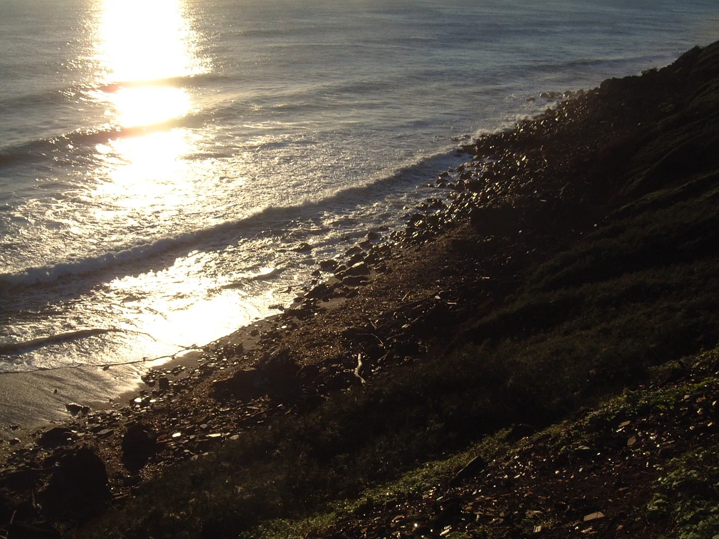
“Loud from passing airplanes.” Open beach guide for Ahukini First Beach The original view of Ahukini Second Beach catches waves breaking among dark rocks in low sunlight.
Open beach guide for Ahukini Second Beach Aliomanu has coarse sand, a flat reef, and small patches of shade under naupaka. The resident remembers finding shells in the sand.
Open beach guide for Aliomanu Beach Mountain views and shaded sand
“Gathering place for families.” Picnic areas Picnic area beside the bay. Source Restrooms Public restrooms at the beach park. Source Camping A County permit is required at the park campground. Source Lifeguard service Hawaiʻi Ocean Safety lists Anahola Beach Park. Source Open beach guide for Anahola Beach Park Dark rocks run from the sand into the water at Anahola Point. The bay’s outer reef breaks farther offshore.
Open beach guide for Anahola Point At the mouth of the Anahola River, the sand borders freshwater on one side and the bay on the other.
Open beach guide for Anahola River Mouth Anapalau Point is one of the headlands north of Kealia. It sits between Pohakuloa Point to the north and Ahihi Point to the south.
“Scenic east side coast.” Open beach guide for Anapalau At Coconut Beach, low plants edge the sand and driftwood rests along the high-water line. One of the original photos looks past the shore toward the mountains.
Open beach guide for Coconut Beach At Donkey Beach, a hillside rises behind the bay and black rocks interrupt the white sand. Waves sweep across the curve of the beach.
Open beach guide for Donkey Beach (Kealia Kai) The reef runs parallel to the sand at Fuji Beach. When the tide went out, the resident watched hermit crabs and kōlea birds take over the wet sand.
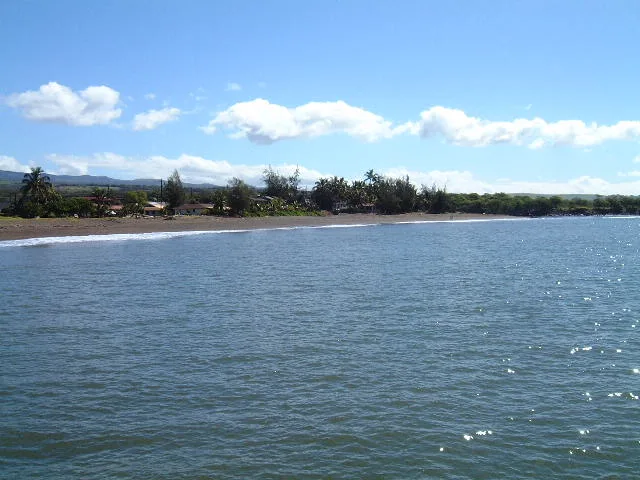
Open beach guide for Fuji Beach The view across Hanamāʻulu Bay takes in palm trees and a low ridge. At the park itself, the trees reach close to the sand.
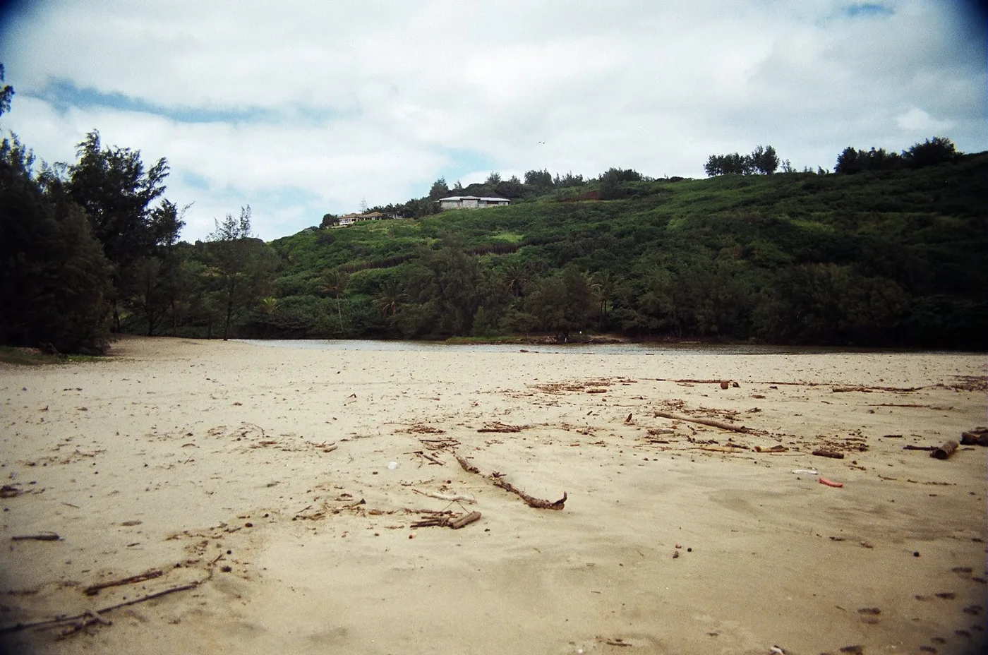
Open beach guide for Hanamāʻulu Beach Park Driftwood collects on the sand south of the Wailua River. A grassy bluff overlooks the bay, with the palms of Lae Nani across the water.
Open beach guide for Hauola Shoreline The resident called this fishing stretch Ka Lauau. On the East Side map, the similar name Ka Laulau appears north of Pohakuloa Point.
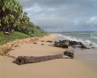
“Scenic east side coast.” Open beach guide for Ka Lauau A log on the sand and rocks at the water’s edge mark the shore at Kaha Lani. The resident recalls how little dry sand remained at high tide.
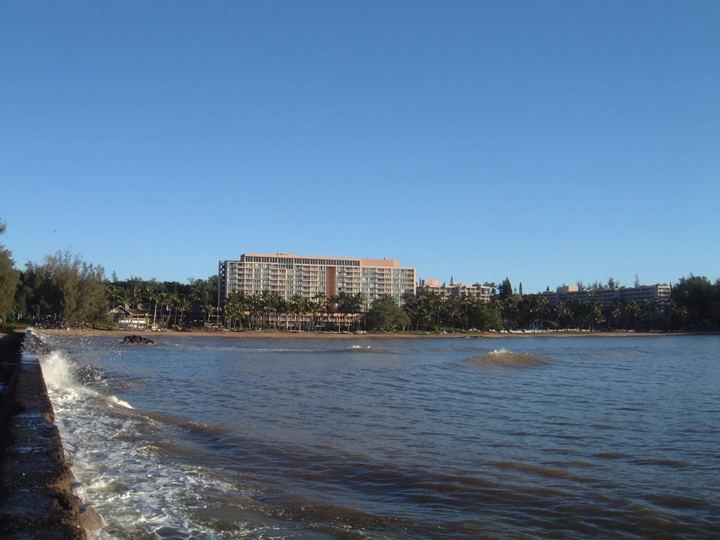
Open beach guide for Kaha Lani Beach Palms and hotel buildings follow the curve of the sand at Kalapaki. From the beach, the view opens across the bay rather than straight out to sea.
Open beach guide for Kalapaki Beach The long sand beach and wooden play structures give Kamalani Kai two quite different views. The resident remembers families gathering here.
Open beach guide for Kamalani Kai The playing fields and the shore share this part of Kapaʻa. The resident remembers busy weekend soccer games beside a much quieter stretch of sand.
Open beach guide for Kapaʻa Beach Park Colorful sails over the water were the resident’s lasting image of Kapaʻa Boat Harbor. Windsurfers and kiteboarders shared the waterfront with the after-work crowd.
Open beach guide for Kapaʻa Boat Harbor A narrow strip of sand runs beside a shallow reef at Kapaʻa Flats. The small size of the beach is what sets this stop apart in the resident’s notes.
“A small strip of sand with shallow reef.” Open beach guide for Kapaʻa Flats Rock ledges meet a ribbon of sand along the Kauai Beach Boy shoreline. Trees and buildings sit close behind this narrow stretch.
Open beach guide for Kauai Beach Boy Shoreline Open surf and a coastal path
“Waves keep coming.” Picnic areas Picnic tables at the beach park. Source Restrooms Public restrooms at the park. Source Lifeguard service Hawaiʻi Ocean Safety lists Kealia Beach Park. Source Open beach guide for Kealia Beach Pale sand gives way to dark rock at Kuaehu Point. From shore, the green hillside across the cove is as much a part of the view as the reef.
Open beach guide for Kuaehu Point Pools and dark rock break up the sandy edge at Lae Nani. Palms stand just behind the shore, where you can see their reflections in the pools.
Open beach guide for Lae Nani Beach The wind and the change from dense brush to open coast are what the resident remembers at Lae o Kailiu.
Open beach guide for Lae o Kailiu Playgrounds and ocean pools
Playgrounds Kamalani Playground and an inclusive playground. Source Restrooms Restrooms near the Nalu Road end of the coastal path. Source Picnic areas Picnic shelters and pavilions. Source Lifeguard service Lydgate Tower, beside the ponds. Source Camping A County permit is required at Lydgate Park Campground. Source Open beach guide for Lydgate Beach Park Soft sand and low coastal plants mark the Marine Camp shoreline. The original photos show the beach under clouds and then with light falling across the waves.
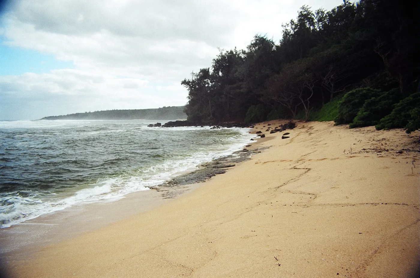
Open beach guide for Marine Camp Shoreline A curve of sand wraps around Moloaʻa Bay. Trees shade one end, and rocks break up the shore at the other.
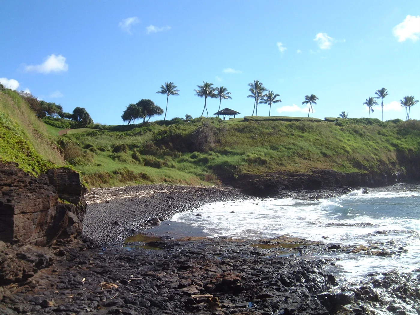
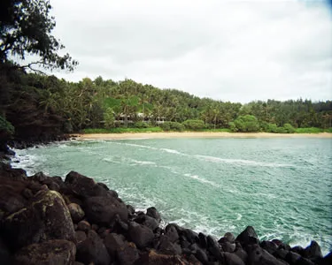
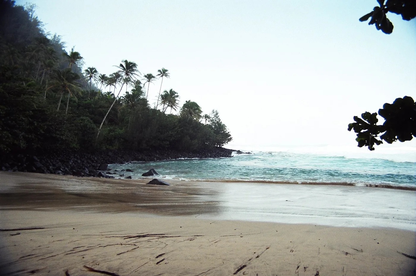
Open beach guide for Moloaʻa Bay A rocky cove sits below a palm-covered bluff at Ninini Point. Offshore traffic and planes overhead gave the resident two directions to look.
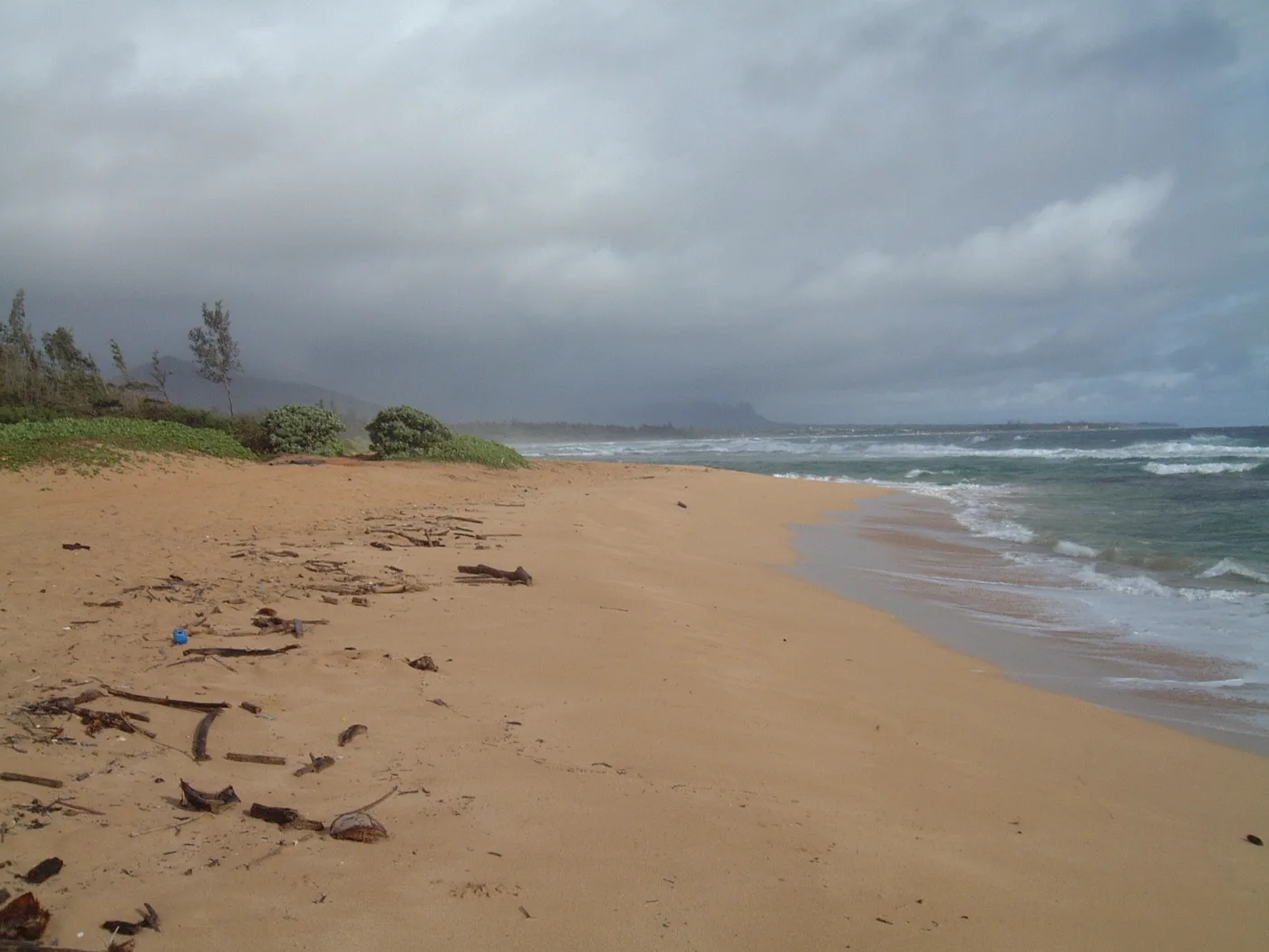
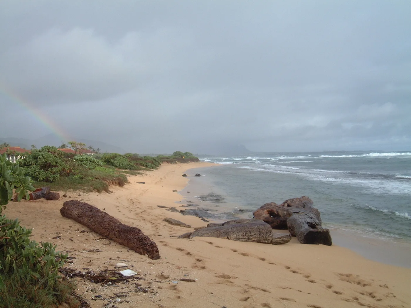
Open beach guide for Ninini Point Driftwood and trees line the sand at Nukoliʻi. A faint rainbow appears above the beach in one of the original photos.
Open beach guide for Nukoliʻi Beach South of Anahola Bay, Opana Point sticks out from a shore that bends back toward Papaloa. Wind on the exposed point is what the resident remembered.
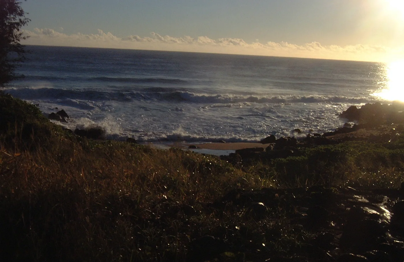
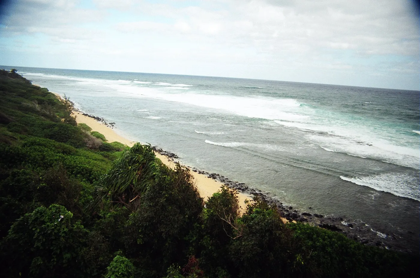
Open beach guide for Opana Point From the slope above Opoi, the resident photographed low sunlight across the ocean and waves at the base of the bluff.
Open beach guide for Opoi Shoreline Dark rocks frame the near side of Papaʻa Bay. Across the green water, the beach makes a pale arc beneath the hillside.
Open beach guide for Papaʻa Bay The resident used to start his morning with a walk from Kapaʻa Sands. From the beach at Papaloa he could look along the coast to Wailua Bay.
Open beach guide for Papaloa at Kapaʻa Sands Papaloa is the small bend in the East Side shore between Opana Point and Lae Lipoa. It shares a name with a second stretch of coast near Wailua.
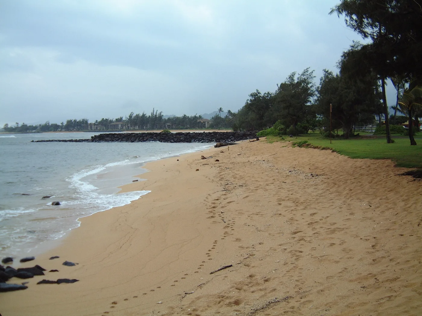
Open beach guide for Papaloa Coast At Pono Kai, a grassy bank meets a narrow beach. The original photo shows the short step from lawn to sand.
Open beach guide for Pono Kai Shoreline At Running Waters, a small sandy cove lies below a green bluff. The resident remembers watching ships leave port from this part of the coast.
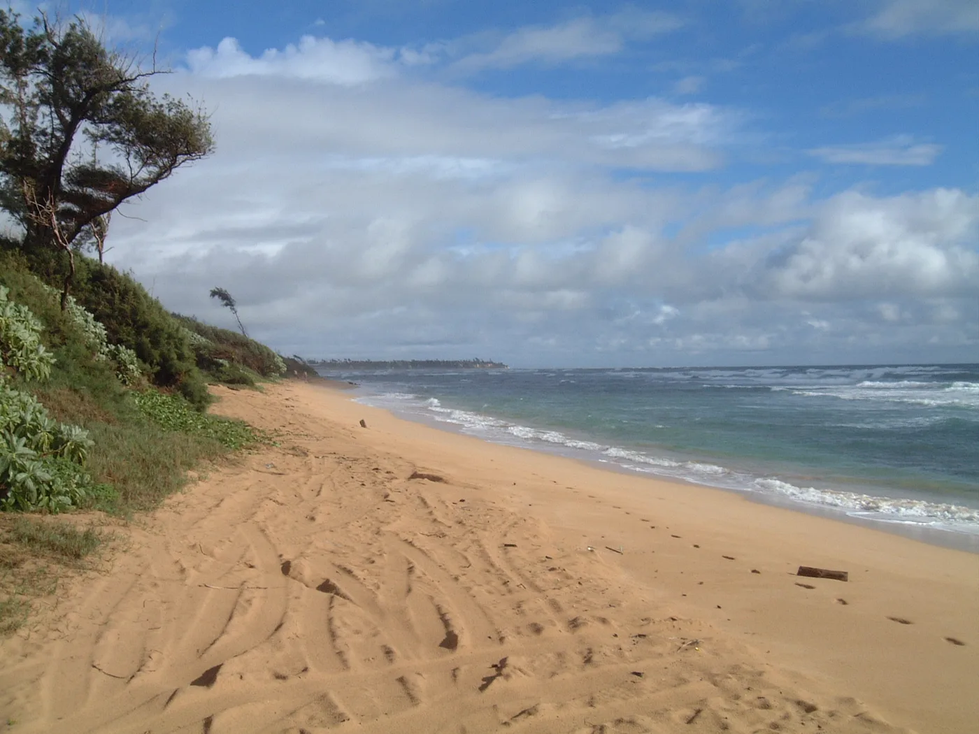
Open beach guide for Running Waters A strand of sand scattered with driftwood stretches south of the main park at Lydgate. The photo looks along the beach toward a distant line of trees.
Open beach guide for South Lydgate Beach The resident remembers Waikaea as a small stretch of waterfront where people pulled up near the shore. The parking area made a stronger impression on him than the beach.
Open beach guide for Waikaea The long sand beach at Wailua sits between Kūhiō Highway and the bay. Horners is the surf break the resident describes near the river mouth.
Open beach guide for Wailua Beach (Horners) The Wailua River reaches the ocean between the wide beach at Wailua and the shore at Hauola. The river mouth is also part of a Hawaiian cultural landscape.
Open beach guide for Wailua River Mouth Waipouli’s sandy shoreline borders a shallow reef. The resident remembers shells on the beach and eels, mantis shrimp, and anemones among the rocks.
Open beach guide for Waipouli Beach Shells and dunes are the two details the resident picks out at Barking Sands. This West Side coastline includes land within the Pacific Missile Range Facility.
“Shells. Sand dunes.” Open beach guide for Barking Sands First Ditch is one of two West Side spots the resident names for the ditches along this coast. He remembers sunsets, heat, and waves breaking close to the beach.
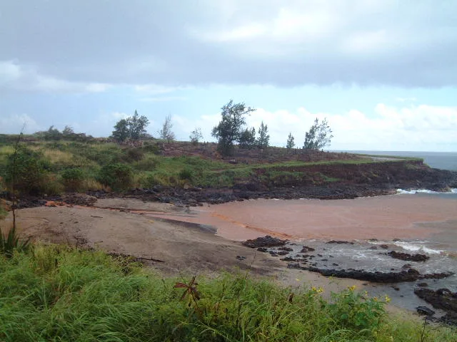
“Great sunsets.” Open beach guide for First Ditch At Glass Beach, the resident photographed a small reddish beach with industrial buildings beyond it. His book places the shore behind the power plant and recalls the former dump.
Open beach guide for Glass Beach Black sand marks the shore at Hanapēpē Bay near Port Allen. The resident remembers mangroves inland, the river mouth nearby, and wild chickens wandering past.
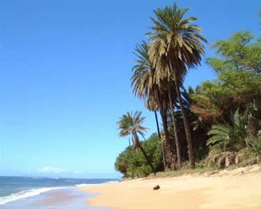
“Black sand.” Open beach guide for Hanapēpē Bay Tall palms mark one end of the beach at Hoanuanu Bay. Across four views, the sand curves toward a lower line of trees with small waves tracing its edge.
Open beach guide for Hoanuanu Bay Honopū is one of the beaches along the Nāpali Coast with no legal kayak landing. It is a shore to see from offshore, with different access rules from nearby Miloliʻi.
Open beach guide for Honopū Beach The resident describes two stretches of shore near Kaumakani. The Hanapēpē topographic map marks two coastal points here, Kaumakani Point and Kaluapuhi.
Open beach guide for Kaumakani and Kaluapuhi Sunset, wind, and shore break stand out in the resident’s account of Kekaha Beach Park. This open stretch of West Side coast faces the evening light.
“Great sunsets.” Open beach guide for Kekaha Beach Park At Kīkīaola, black sand meets a working boat harbor. The resident included it for that small piece of shoreline and the boats around it.
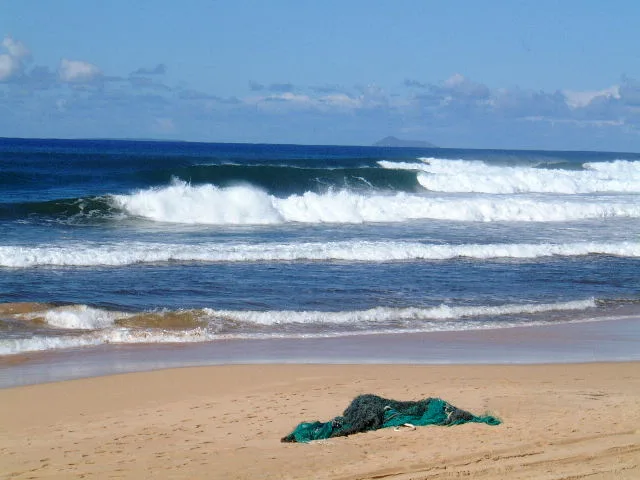
“There is black sand in the harbor.” Open beach guide for Kīkīaola Harbor At Kinikini, lines of white surf break beyond an open West Side beach. In one original photo, a green fishing net rests on the sand.
Open beach guide for Kinikini Ditch Beach Soft sand and a wide sunset view are what the resident remembers at Kokole Point. His note singles out nights with a full moon.
“Soft sand. Beautiful sunset.” Open beach guide for Kokole Point The resident remembers Kunakaiole as a hot, windy stretch on the way to Salt Pond. The nearby park was his landmark for this part of the coast.
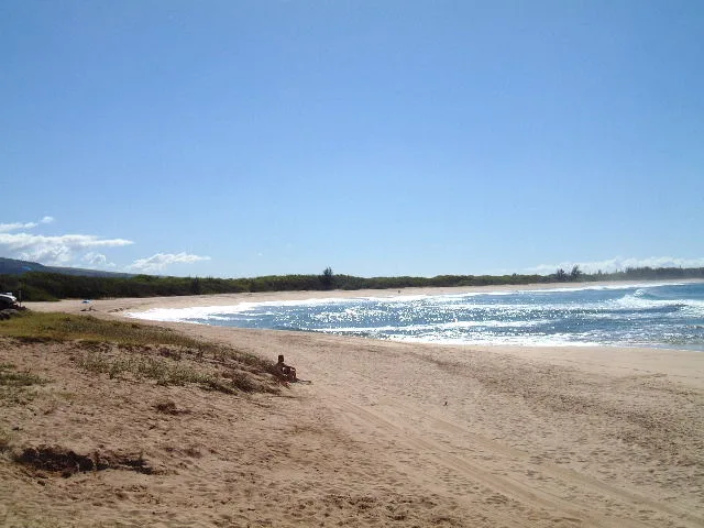
Open beach guide for Kunakaiole At Majors Bay, a long stretch of sand runs beside low dunes. The two original views look along the beach and across the line of breaking waves.
Open beach guide for Majors Bay (Waikapua Bay) Driftwood lies along the curved bay at Makaweli Landing. One photo shows a low building behind the trees, while the other follows the sand around the water.
Open beach guide for Makaweli Landing Miloliʻi lies beyond Kalalau on the Nāpali Coast. The resident remembers boats coming in and a shallow reef off the beach.
Open beach guide for Miloliʻi Beach The resident remembers Nohili Point as a West Side fishing place. It appears alongside Barking Sands in his account of the coast by the military installation.
Open beach guide for Nohili Point At Nuʻalolo Kai, the shore leads to the remains of a Hawaiian settlement. The State describes guided visits to the archaeological complex from permitted raft tours.
Open beach guide for Nuʻalolo Kai The resident calls this West Side surf spot Davidsons. What distinguished it for him was how little sand lay between the road and the ocean.
Open beach guide for Oomano Point (Davidsons) The Waimea River reaches the ocean beside Pāʻulaʻula, a Hawaiian historic site. The photos follow the sandy, rocky shore below the site.
Open beach guide for Pāʻulaʻula at the Waimea River The resident remembers surfers gathering at Pakala Point for the break over the shallow reef.
Open beach guide for Pakala Point (West Side) At Polihale, dunes back a long sweep of sand facing the high cliffs of the Nāpali Coast. The dunes and the evening light are as much a part of this beach as the water.
Open beach guide for Polihale State Park Rock and driftwood fill the foreground at Poo Point. Just along the shore, the original photos show a sandy beach with dense green plants behind it.
Open beach guide for Poo Point Queen’s Pond, also called Poʻoahonu, is a named section of the sandy coast inside Polihale State Park. The park’s dunes and unimproved entry road are part of the approach.
Open beach guide for Queen’s Pond at Polihale Shallow reef and limestone edge the beach at Salt Pond. The resident remembers families gathering here on the West Side and staying for sunset.
“Shallow reef. Limestone.” Open beach guide for Salt Pond Beach Park At Second Ditch, the resident remembers fishing in the wind and watching the sun set. His separate entry for First Ditch also describes the waves along this coast.
“Nice Sunset spot.” Open beach guide for Second Ditch Dark sand, stones, and driftwood give this West Side bay a different look from the pale beaches around Poʻipū.
Open beach guide for Waimea Bay (Kauai) The wooden rails of Waimea Pier lead out over the dark sand and water. The resident remembered this West Side waterfront for its sunsets.
Open beach guide for Waimea Pier Shade and sunsets were the resident’s lasting impressions of the shore beside Waimea Plantation Cottages. His description pays as much attention to the grounds behind the beach as to the water.
Open beach guide for Waimea Plantation Cottages Shoreline Hāʻena Beach Park is a County park on the North Shore with a picnic pavilion and lifeguard service. Nearby Kēʻē Beach is in a separate state park.
Open beach guide for Hāʻena Beach Park The resident describes a windy stretch of coast east of Tunnels, with shallow reef near the point.
Open beach guide for Hāʻena Point A stream reaches the sea below steep green slopes at Hanakāpīʻai. Sand can build up in summer and wash away again in winter.
Open beach guide for Hanakāpīʻai Beach The picnic pavilion gives this stretch of Hanalei Bay its name. The County lists a restroom and lifeguard service at the park.
Open beach guide for Hanalei Pavilion The pier stands beside the river end of Hanalei Bay. Here the view takes in boats, the river mouth, and the broad arc of beach.
“River area.” Open beach guide for Hanalei Pier The resident names this Princeville beach Kenomene, or Hideaways. He remembers shade and a shallow reef below the bluff.
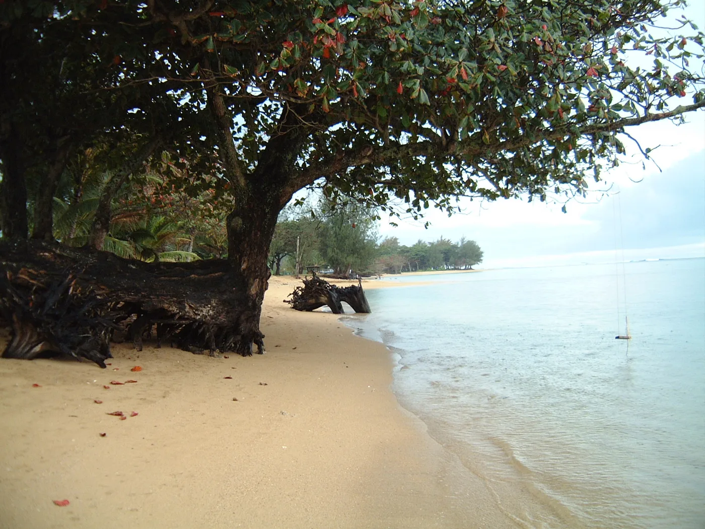
Open beach guide for Hideaways Beach (Kenomene) At Honu Point the tree branches are low enough to hang directly over the sand. The original photo looks beneath them toward the water.
Open beach guide for Honu Point at ʻAnini A long, tree-lined shore inside a coral reef
“Nice grassy areas.” Picnic areas Picnic areas and pavilions. Source Restrooms Public restrooms at the park. Source Camping County permit required for overnight camping. Source Lifeguard service No lifeguard at ʻAnini Beach Park. Source Open beach guide for ʻAnini Beach Park The resident distinguished the shore at the end of ʻAnini Road from the campground. Shade trees and the color of the shallow water are what he remembers here.
Open beach guide for ʻAnini Road Shoreline The resident places Ka Lae o Kowali on the ʻAnini Road stretch toward Kalihiwai Bay. He remembers shade along the shore and a shallow reef offshore.
Open beach guide for Ka Lae o Kowali The resident places Kailiu Point east of Kēʻē. He remembers a shallow reef beside the coast and a view back toward the cliffs of Nāpali.
Open beach guide for Kailiu Point Kakiu Point is one of the sandy breaks between the headlands on the Kīlauea coast. A reef follows this coast east from Mokolea Point.
Open beach guide for Kakiu Point Kalalau Beach lies below the fluted cliffs at the far end of the Kalalau Trail. What stayed with the resident was the contrast between the great walls of the valley and its cool mountain stream.
“Cool mountain stream.” Open beach guide for Kalalau Beach Trees follow the sand at Kalihikai on the ʻAnini coast. One photo looks beneath low branches; another shows palms set back from the water. In the third, a swing hangs over the sand.
Open beach guide for Kalihikai at ʻAnini Kalihiwai has both a river and a surf point. Forested hills frame the sandy bay between them.
Open beach guide for Kalihiwai Bay The view of the lighthouse was what the resident remembered most about Kauapea Beach. It gave him a landmark to pick out along this North Shore coast.
“Beautiful view of lighthouse.” Open beach guide for Kauapea Beach (Secret Beach) At Kēʻē, trees hang over the sand and a reef lies offshore. This beach inside Hāʻena State Park is also where the Kalalau Trail starts.
Open beach guide for Kēʻē Beach Waves meet a narrow beach at Kepuhi Point. Trees and a building sit just behind the sand in the resident’s photo.
Open beach guide for Kepuhi Point The resident looked for birds by the river at Kīlauea Bay. His note also describes people fishing and surfing out in the bay.
“Good bird watching at river.” Open beach guide for Kīlauea Bay (Rock Quarry) The resident remembers a long stretch of beach, fishing, and a shallow reef near Kulikoa Point.
Open beach guide for Kulikoa Point At Lae o Kaonohi, the resident noted a shallow reef close to this stretch of North Shore coast.
Open beach guide for Lae o Kaonohi The resident remembers clear water and rock at Lumahaʻi Bay. Offshore, there is no broad fringing reef to break the incoming waves.
Open beach guide for Lumahaʻi Bay A long stretch of sand meets the river at Lumahaʻi. The resident remembers the force of the shore break more vividly than the width of the beach.
“Long sandy beach.” Open beach guide for Lumahaʻi River Mouth The shore near Makapili Rock lies low between headlands on the Kīlauea coast. The USGS map shows where the beach sits in relation to Mokolea Point and Kīlauea Bay.
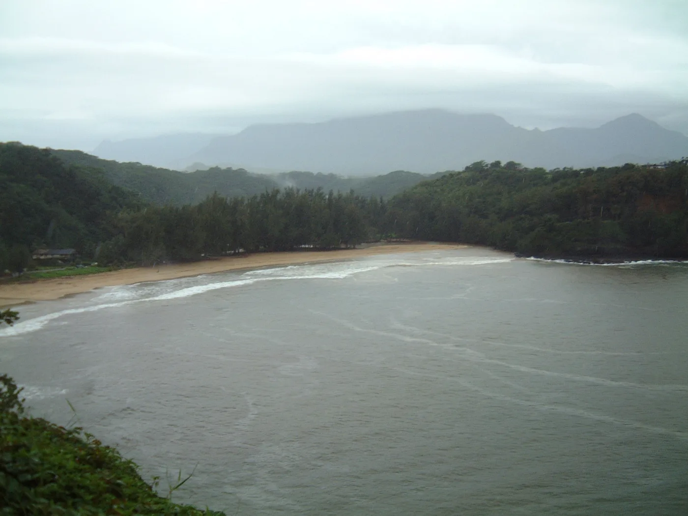
Open beach guide for Makapili Rock The photographs of this North Shore point look down from a hillside over a long beach. From above, you can see the line where the waves reach the shore.
Open beach guide for Pakala Point at Larsen’s Pale sand borders a wooded point on the Pilaʻa coast. The resident’s description mentions a shallow reef and the steep land behind the beach.
Open beach guide for Pilaʻa Beach Along the Kīlauea coast, a sandy stretch at Pōhaku Malumalu breaks the line of rocky headlands. The USGS map shows it in the same coastal section as Kīlauea Bay.
Open beach guide for Pōhaku Malumalu Yellow sand and shallow reef are the details the resident recalls at Puʻu Poa, on the Princeville side of Hanalei.
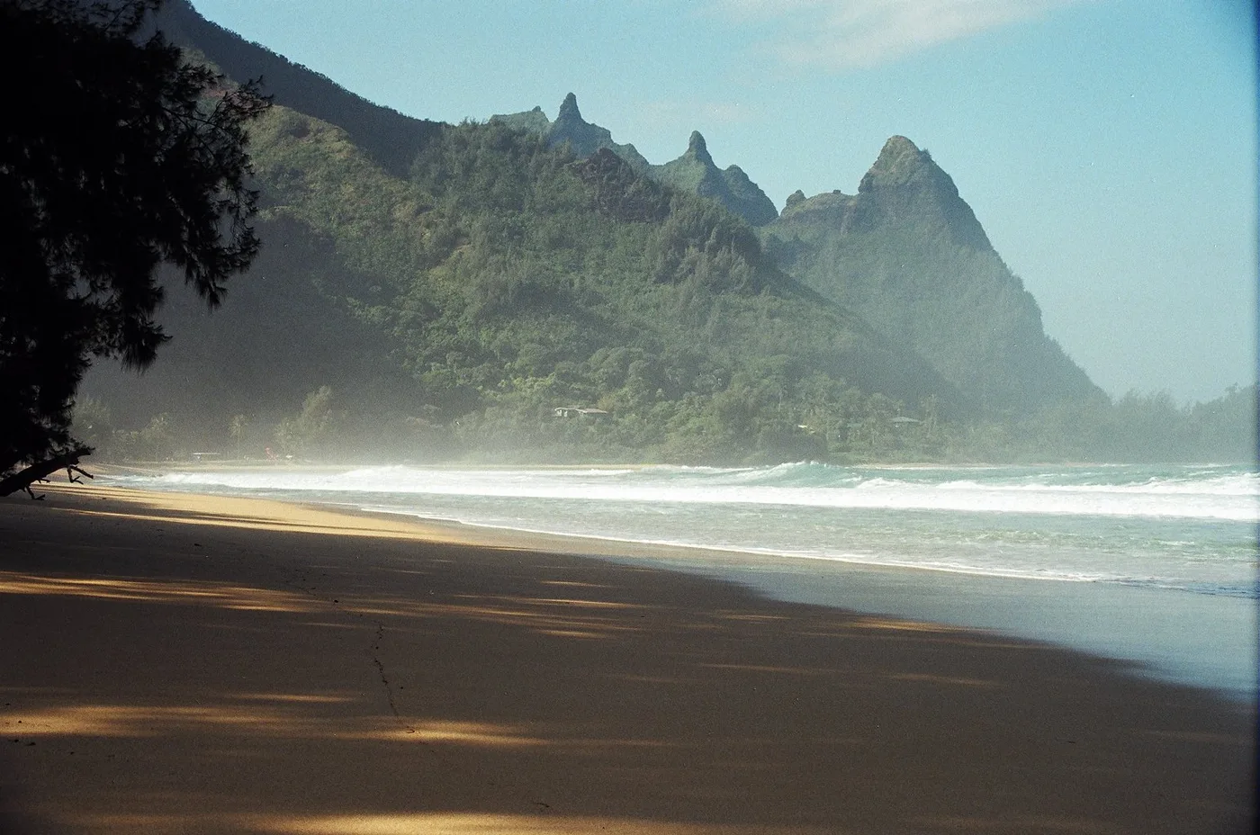
Open beach guide for Puʻu Poa Beach At Tunnels, sharp mountain peaks rise above a beach bordered by trees. One photo frames the mountains in shade. The other follows the long sweep of open sand.
Open beach guide for Tunnels Beach (Makua) Waiʻoli Beach Park sits on Hanalei Bay. Picnic space and restrooms make this a place to stop on land as well as look across the bay.
Open beach guide for Waiʻoli Beach Park Waikoko curves around a bay with a shallow reef. When North Shore swells come in, you can watch surfers from the beach.
Open beach guide for Waikoko Beach Freshwater meets a sandy bay at Wainiha. The resident remembers the cold stream and a reef on the southern side.
“Cold fresh water stream.” Open beach guide for Wainiha Bay Brennecke’s is a small South Shore bay edged with rock. From the sand, palms and nearby buildings are visible on the far shore.
Open beach guide for Brennecke’s Beach Limestone surrounds Haula Beach. The resident describes this pocket of the South Shore from the water, where the rock stands out around the beach.
“Surrounded by limestone.” Open beach guide for Haula Beach The sand at Kamala Point curves toward a low rocky headland. In the second photo, dark rocks form a clear edge between the sand and the sea.
Open beach guide for Kamala Point A shallow reef runs along Kawailoa Bay. The resident remembers looking along the coast toward Paoo, the neighboring beach to the north.
Open beach guide for Kawailoa Bay A rocky headland rises over the sand at Keoniloa Bay, also called Shipwreck Beach. The two photos show the beach below the rock and the developed shoreline farther along the bay.
Open beach guide for Keoniloa Bay (Shipwreck Beach) The resident describes Kīpū Kai from the seaward side, with private land behind the bay. Fishing was one of the things he remembers about the water here.
Open beach guide for Kīpū Kai Bay Just a small strip of beach separates the road and reef at Kolopa. The resident remembers it as a place he noticed in passing along the South Shore.
“Shallow reef next to road.” Open beach guide for Kolopa (Lāwaʻi Road) Kuahonu is a bay on the Kīpū Kai coast. The resident remembers seeing it from the water and describes a quiet shore facing changeable surf.
Open beach guide for Kuahonu Bay at Kīpū Kai The view at Kukuiʻula is of a harbor, with little sand between the park and the water. The resident remembers watching the sun set from shore.
Open beach guide for Kukuiʻula Harbor Shells and surf are the details the resident remembers about Lāwaʻi Bay. His note is as much a memory of a place he missed as a description of the shore.
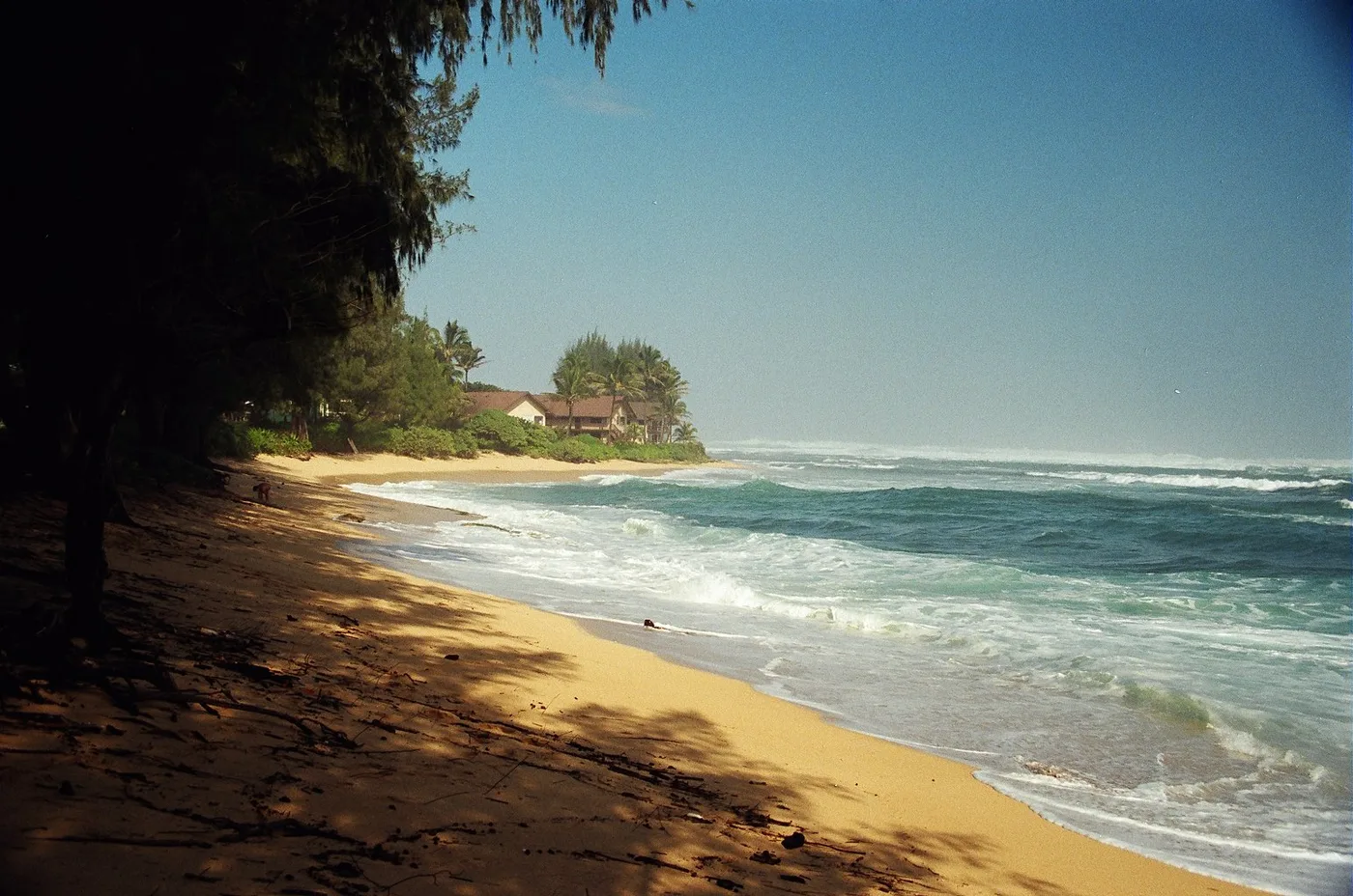
Open beach guide for Lāwaʻi Bay A curving sand beach backed by trees stretches along the Māhāʻulepū coast. In the resident’s photos, waves break along the open shore.
Open beach guide for Māhāʻulepū Beach The Makawehi cliffs show a different side of the coast near Shipwreck Beach. Here old sand dunes have hardened into layers of rock above the water.
Open beach guide for Makawehi Cliffs At Molehu Point the coast rises into steep rock. A small pocket of sand lies to the south of the point, where the shore curves inward.
Open beach guide for Molehu Point Nukumoi Point is the landmark to look for in the middle of Poʻipū Beach. A sandbar sometimes reaches from shore toward the small rocky islet.
“South side of Poipu.” Open beach guide for Nukumoi Point The pond itself drew the resident’s attention at Palama. His book calls it Nomilu and remembers fishing here on the South Shore.
Open beach guide for Palama Pond The resident places Paoo north of Kawailoa Bay. Wind and an open view of the South Shore are the details he recalls from this stretch.
Open beach guide for Paoo Beach Picnic pavilions beside the bay
Restrooms Public restrooms at the beach park. Source Picnic areas Picnic tables on the lawn and covered pavilions. Source Playgrounds Playground equipment in the park. Source Lifeguard service Poʻipū Tower and Nukumoi Tower. Source Open beach guide for Poʻipū Beach Park A stream mouth interrupts the rocky coast at Wahiawa Bay. Sand has collected here to form one of the larger beaches along this stretch of the Hanapēpē coast.
Open beach guide for Wahiawa Bay The original view of Waiohai shows a small sandy bay with palms and buildings behind it. The curve of the waterline is visible from one end to the other.
Open beach guide for Waiohai Beach