Wailua River Mouth
Show on mapThe Wailua River reaches the ocean between the wide beach at Wailua and the shore at Hauola. The river mouth is also part of a Hawaiian cultural landscape.
Source: National Park Service guide to the Wailua Complex of Heiaus
The shoreline
Near the southern bank are the remains of Hikinaakalā Heiau and the Hauola place of refuge. From the river mouth, the long strip of sand in the Wailua Beach guide is visible across the water.
Questions about Wailua River Mouth
What is Hauola?
Hauola was a place of refuge at the mouth of the Wailua River. The National Park Service describes its relationship with nearby Hikinaakalā Heiau.
More of the East Side
Read the East Side guide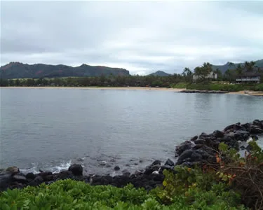
East Side
Wailua Beach (Horners)
The long sand beach at Wailua sits between Kūhiō Highway and the bay. Horners is the surf break the resident describes near the river mouth.
Explore this beach: Wailua Beach (Horners)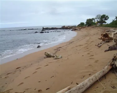
East Side
Hauola Shoreline
Driftwood collects on the sand south of the Wailua River. A grassy bluff overlooks the bay, with the palms of Lae Nani across the water.
Explore this beach: Hauola Shoreline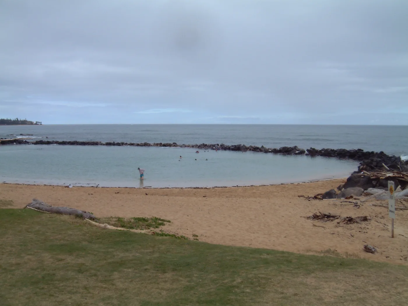
East Side
Lydgate Beach Park
Rock-walled ponds, Kamalani Playground, and a paved path along the coast.
Explore this beach: Lydgate Beach Park