Keoniloa Bay (Shipwreck Beach)
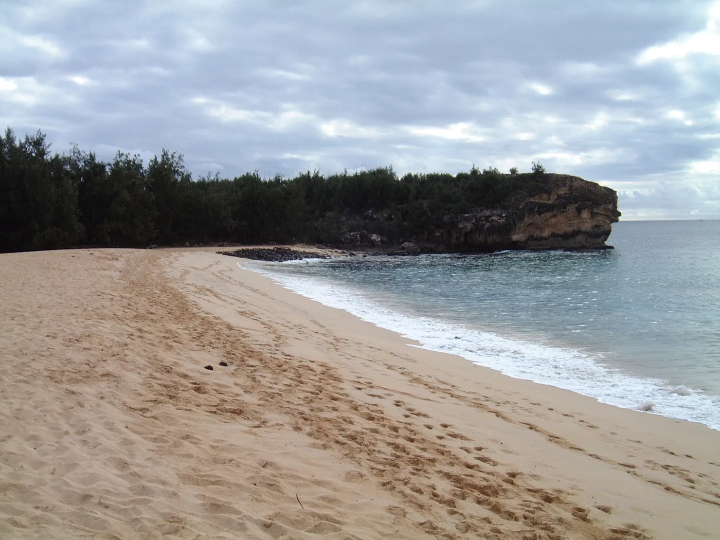
Show on mapA rocky headland rises over the sand at Keoniloa Bay, also called Shipwreck Beach. The two photos show the beach below the rock and the developed shoreline farther along the bay.
Photos from a Kauai resident. · Source: Poʻipū coast map · USGS (PDF)
Keoniloa Bay (Shipwreck Beach) photos
Select a photo to see the full view.
More of the South Shore
Browse South Shore beaches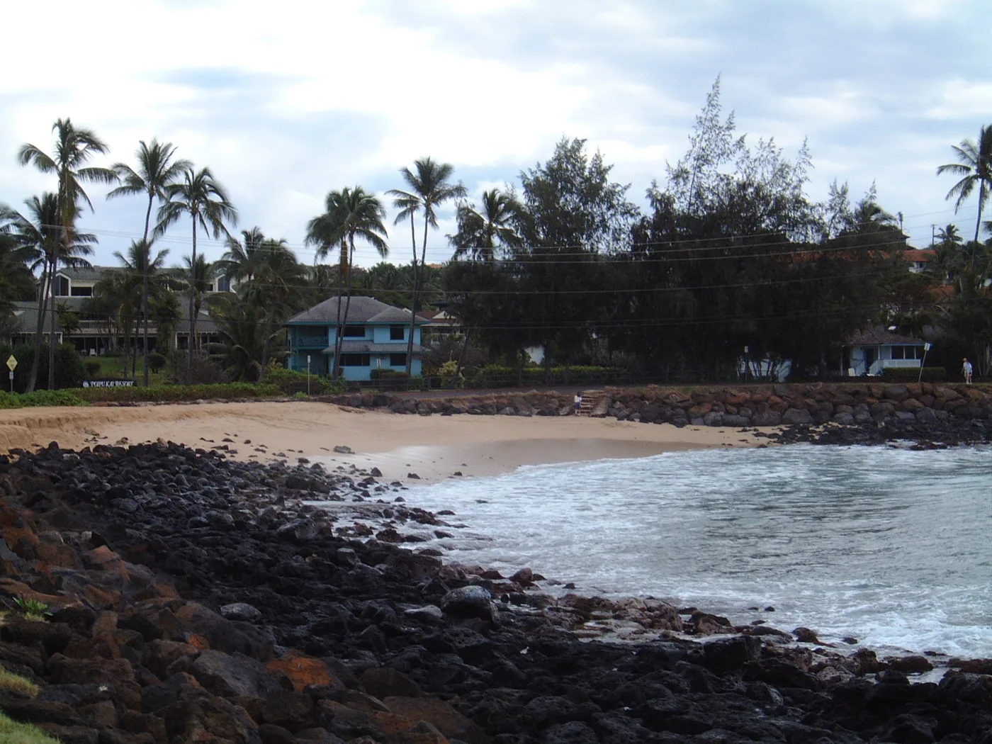
South Shore
Brennecke’s Beach
Brennecke’s is a small South Shore bay edged with rock. From the sand, palms and nearby buildings are visible on the far shore.
Explore this beach: Brennecke’s BeachSouth Shore
Nukumoi Point
Nukumoi Point is the landmark to look for in the middle of Poʻipū Beach. A sandbar sometimes reaches from shore toward the small rocky islet.
Explore this beach: Nukumoi Point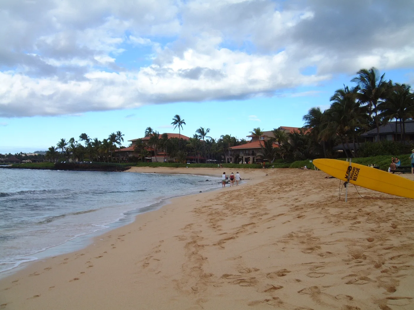
South Shore
Waiohai Beach
The original view of Waiohai shows a small sandy bay with palms and buildings behind it. The curve of the waterline is visible from one end to the other.
Explore this beach: Waiohai Beach