Kamala Point
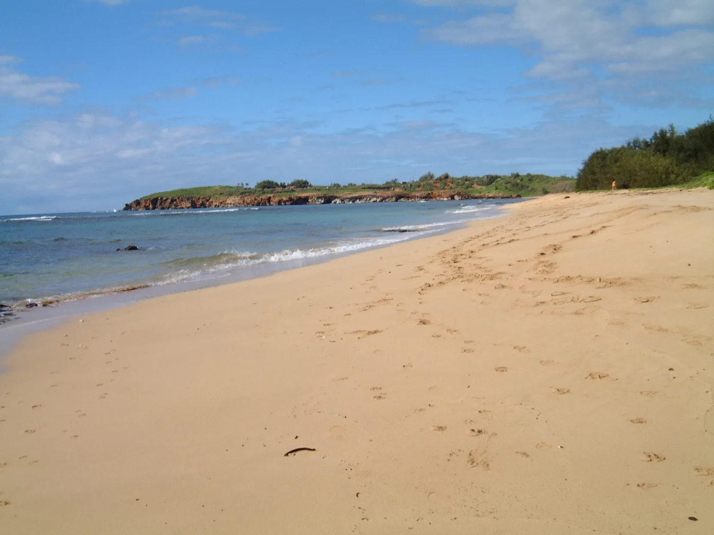
Show on mapThe sand at Kamala Point curves toward a low rocky headland. In the second photo, dark rocks form a clear edge between the sand and the sea.
A local view
The resident describes a pond in the reef and wind along this walking beach. Both original views show the coastline from dry sand.
Kamala Point photos
Select a photo to see the full view.
More of the South Shore
Browse South Shore beaches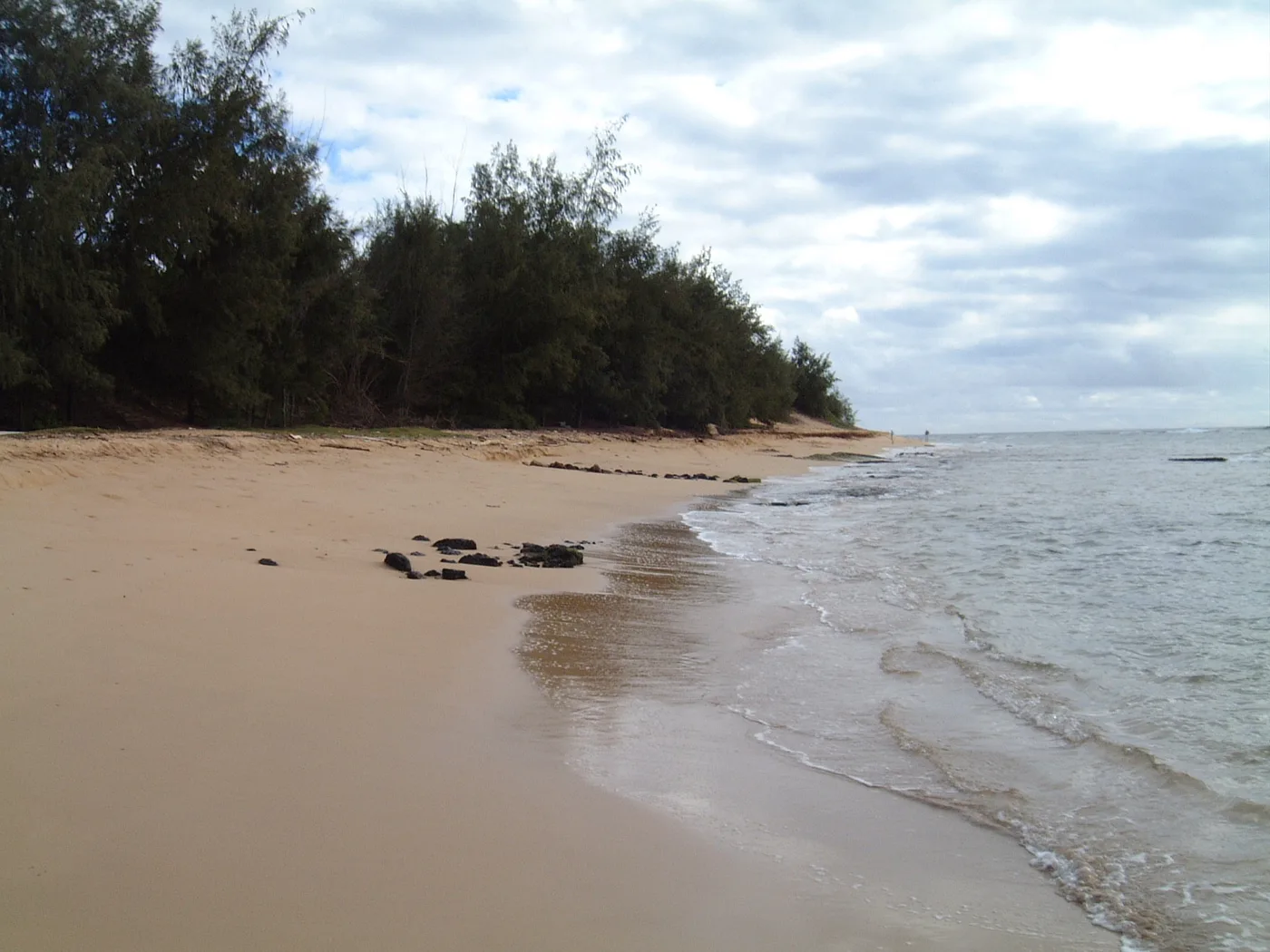
South Shore
Māhāʻulepū Beach
A curving sand beach backed by trees stretches along the Māhāʻulepū coast. In the resident’s photos, waves break along the open shore.
Explore this beach: Māhāʻulepū Beach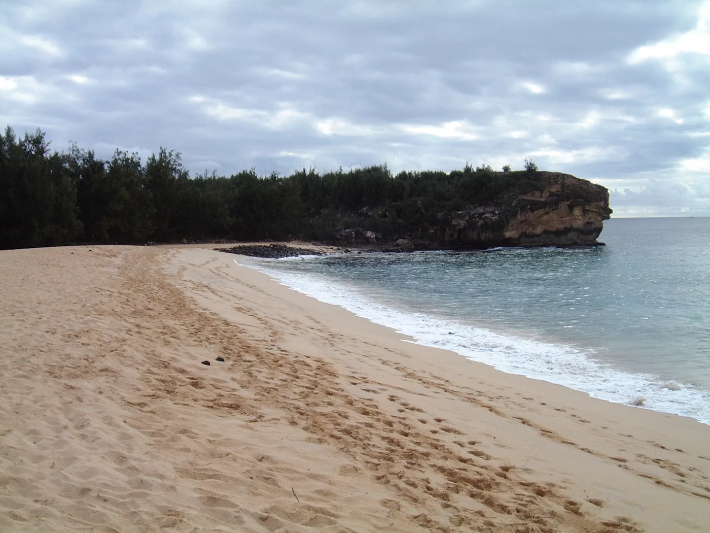
South Shore
Keoniloa Bay (Shipwreck Beach)
A rocky headland rises over the sand at Keoniloa Bay, also called Shipwreck Beach. The two photos show the beach below the rock and the developed shoreline farther along the bay.
Explore this beach: Keoniloa Bay (Shipwreck Beach)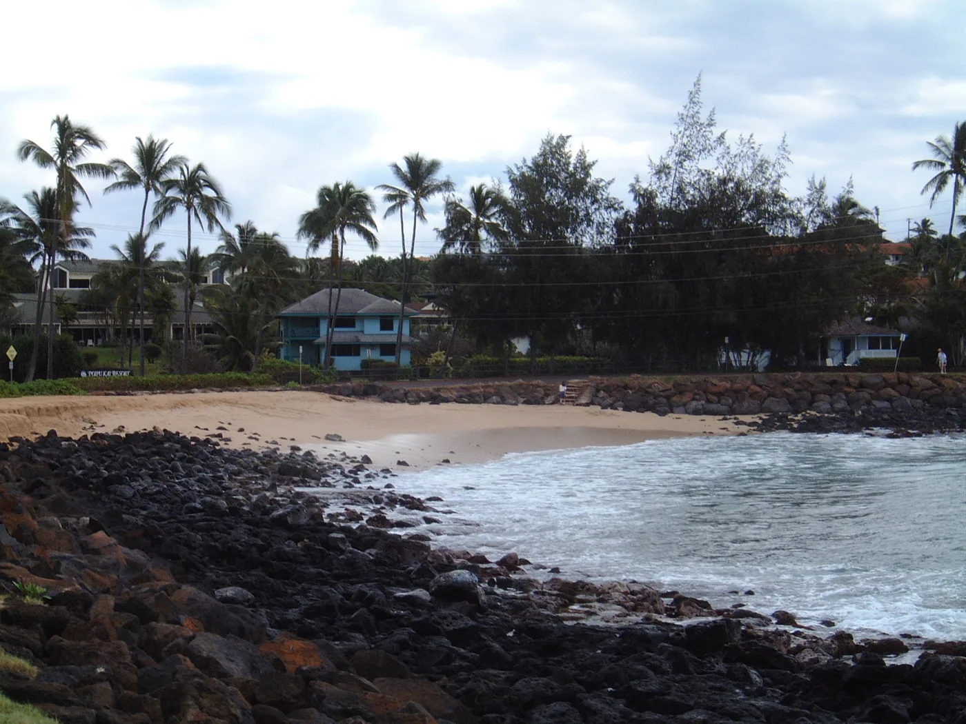
South Shore
Brennecke’s Beach
Brennecke’s is a small South Shore bay edged with rock. From the sand, palms and nearby buildings are visible on the far shore.
Explore this beach: Brennecke’s Beach