Makapili Rock
Show on mapThe shore near Makapili Rock lies low between headlands on the Kīlauea coast. The USGS map shows where the beach sits in relation to Mokolea Point and Kīlauea Bay.
Source: Kīlauea coast map · USGS (PDF)
The shoreline
On the Kīlauea sheet, Makapili Rock lies between Kīlauea Point, where the lighthouse stands, and Mokolea Point. Kauapea Beach is on the other side of the lighthouse. The map helps distinguish the two stretches of sand. Kīlauea coast map · USGS (PDF)
More of the North Shore
Browse North Shore beachesNorth Shore
Kauapea Beach (Secret Beach)
The view of the lighthouse was what the resident remembered most about Kauapea Beach. It gave him a landmark to pick out along this North Shore coast.
Explore this beach: Kauapea Beach (Secret Beach)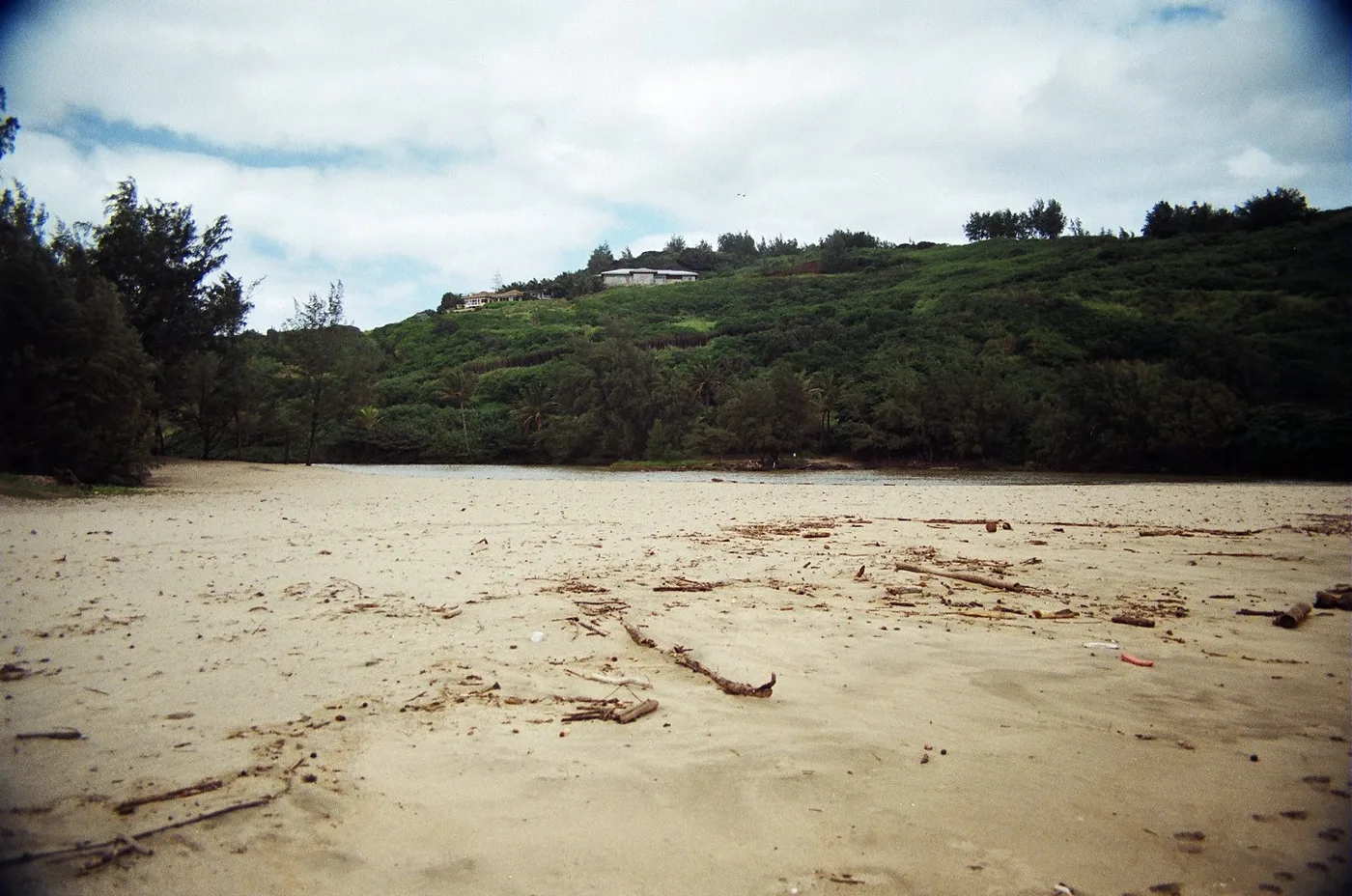
North Shore
Kīlauea Bay (Rock Quarry)
The resident looked for birds by the river at Kīlauea Bay. His note also describes people fishing and surfing out in the bay.
Explore this beach: Kīlauea Bay (Rock Quarry)North Shore
Kakiu Point
Kakiu Point is one of the sandy breaks between the headlands on the Kīlauea coast. A reef follows this coast east from Mokolea Point.
Explore this beach: Kakiu Point