Kulikoa Point
Show on mapThe resident remembers a long stretch of beach, fishing, and a shallow reef near Kulikoa Point.
A local view
His note places the point along a walk on the sand. It does not establish where visitors can park or enter the shore today.
Questions about Kulikoa Point
How do I check for public access?
Use the State shoreline access guidance to find a public right-of-way. A view of the coast or a path in an old description does not establish a route across adjoining property.
More of the North Shore
Browse North Shore beaches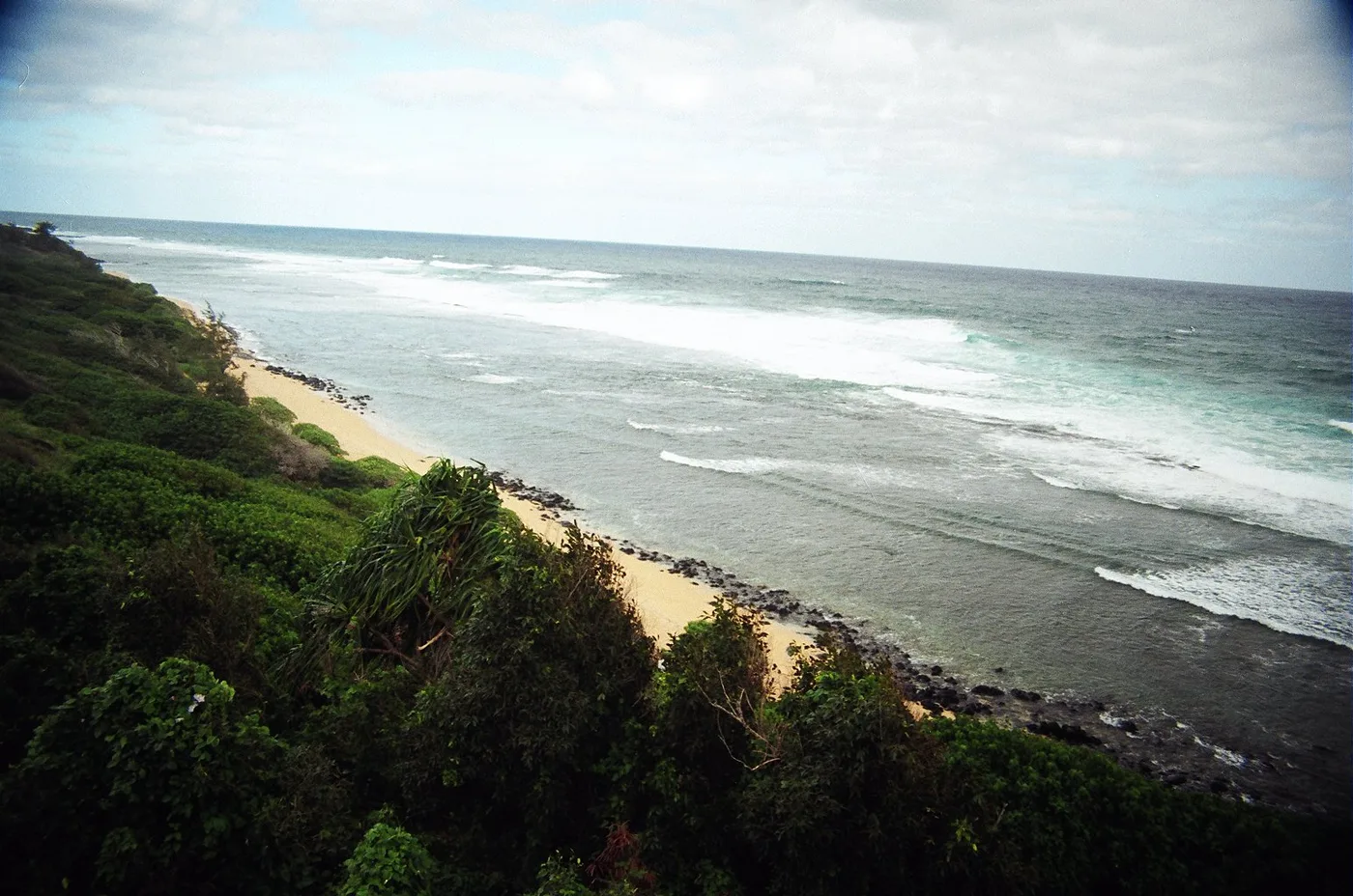
North Shore
Pakala Point at Larsen’s
The photographs of this North Shore point look down from a hillside over a long beach. From above, you can see the line where the waves reach the shore.
Explore this beach: Pakala Point at Larsen’sNorth Shore
Pōhaku Malumalu
Along the Kīlauea coast, a sandy stretch at Pōhaku Malumalu breaks the line of rocky headlands. The USGS map shows it in the same coastal section as Kīlauea Bay.
Explore this beach: Pōhaku MalumaluNorth Shore
Kakiu Point
Kakiu Point is one of the sandy breaks between the headlands on the Kīlauea coast. A reef follows this coast east from Mokolea Point.
Explore this beach: Kakiu Point