Pakala Point at Larsen’s
Show on mapThe photographs of this North Shore point look down from a hillside over a long beach. From above, you can see the line where the waves reach the shore.
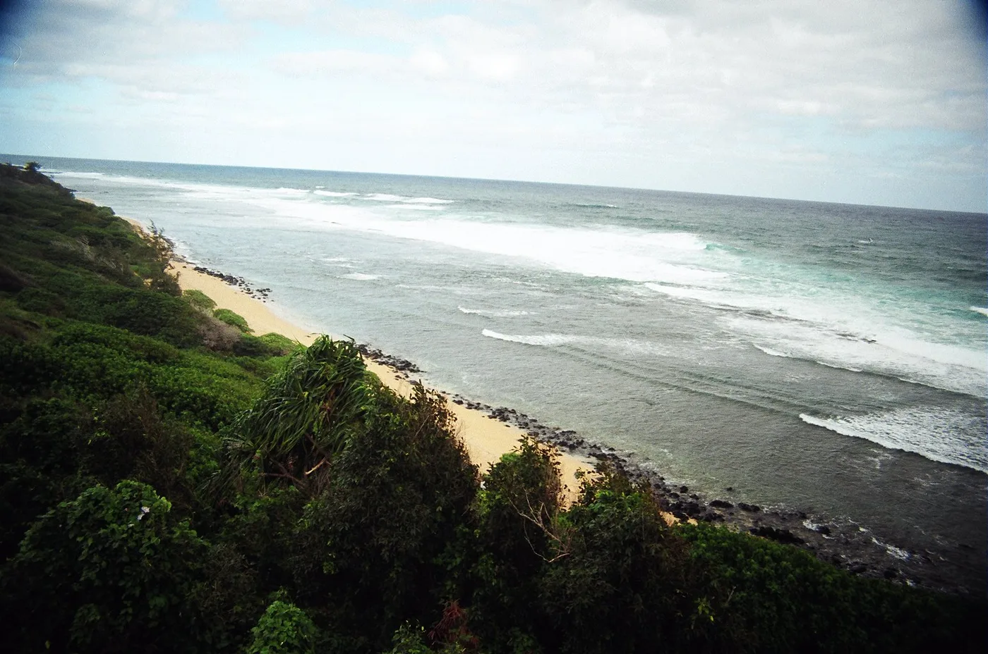
A local view
The resident remembers fishing off this stretch. He lists it separately from Pakala Point on the West Side.
Pakala Point at Larsen’s photos
Select a photo to see the full view.
More of the North Shore
Browse North Shore beachesNorth Shore
Pōhaku Malumalu
Along the Kīlauea coast, a sandy stretch at Pōhaku Malumalu breaks the line of rocky headlands. The USGS map shows it in the same coastal section as Kīlauea Bay.
Explore this beach: Pōhaku MalumaluNorth Shore
Kakiu Point
Kakiu Point is one of the sandy breaks between the headlands on the Kīlauea coast. A reef follows this coast east from Mokolea Point.
Explore this beach: Kakiu PointNorth Shore
Makapili Rock
The shore near Makapili Rock lies low between headlands on the Kīlauea coast. The USGS map shows where the beach sits in relation to Mokolea Point and Kīlauea Bay.
Explore this beach: Makapili Rock