Pāʻulaʻula at the Waimea River
Show on mapThe Waimea River reaches the ocean beside Pāʻulaʻula, a Hawaiian historic site. The photos follow the sandy, rocky shore below the site.
Photos from a Kauai resident. · Source: State Parks guide to Pāʻulaʻula
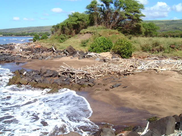
The shoreline
The name Russian Fort appears on older maps and in the original photo names. The State now uses Pāʻulaʻula. One view looks across the rocks at the waterline and the other follows the beach toward Poo Point.
Pāʻulaʻula at the Waimea River photos
Select a photo to see the full view.
Questions about Pāʻulaʻula at the Waimea River
Which name should I look for on the park map?
Use Pāʻulaʻula State Historic Site. The State’s guide explains the older name, Russian Fort Elizabeth, and the history of the site.
More of the West Side
Browse West Side beaches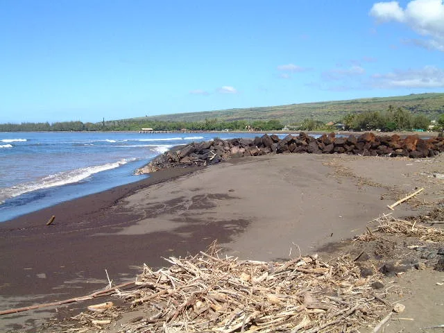
West Side
Waimea Bay (Kauai)
Dark sand, stones, and driftwood give this West Side bay a different look from the pale beaches around Poʻipū.
Explore this beach: Waimea Bay (Kauai)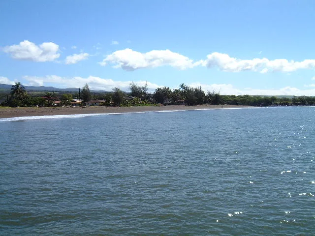
West Side
Waimea Pier
The wooden rails of Waimea Pier lead out over the dark sand and water. The resident remembered this West Side waterfront for its sunsets.
Explore this beach: Waimea PierWest Side
Waimea Plantation Cottages Shoreline
Shade and sunsets were the resident’s lasting impressions of the shore beside Waimea Plantation Cottages. His description pays as much attention to the grounds behind the beach as to the water.
Explore this beach: Waimea Plantation Cottages Shoreline