Papaloa Coast
Show on mapPapaloa is the small bend in the East Side shore between Opana Point and Lae Lipoa. It shares a name with a second stretch of coast near Wailua.
A local view
Papaloa Coast shares a note with Opana Point. The resident’s separate entry for Papaloa at Kapaʻa Sands describes a walking path and a view toward Wailua Bay.
The Kapaʻa sheet shows both names. Look near Opana Point at the top for this Papaloa. The other Papaloa is near Alakukui Point and Wailua Bay at the bottom. Kapaʻa coast map · USGS (PDF)
More of the East Side
Read the East Side guideEast Side
Opana Point
South of Anahola Bay, Opana Point sticks out from a shore that bends back toward Papaloa. Wind on the exposed point is what the resident remembered.
Explore this beach: Opana Point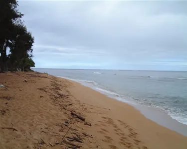
East Side
Papaloa at Kapaʻa Sands
The resident used to start his morning with a walk from Kapaʻa Sands. From the beach at Papaloa he could look along the coast to Wailua Bay.
Explore this beach: Papaloa at Kapaʻa SandsEast Side
Anapalau
Anapalau Point is one of the headlands north of Kealia. It sits between Pohakuloa Point to the north and Ahihi Point to the south.
Explore this beach: Anapalau