Kaumakani and Kaluapuhi
Show on mapThe resident describes two stretches of shore near Kaumakani. The Hanapēpē topographic map marks two coastal points here, Kaumakani Point and Kaluapuhi.
A local view
The similar names can make the map hard to read. Kaumakani is the community as well as the name of a point. Kaluapuhi is a separate cape on the same map.
Questions about Kaumakani and Kaluapuhi
Where are the two points marked?
Look on the coast of the Hanapēpē map for Kaluapuhi and Kaumakani Point. The map shows the landmarks. It does not identify public beach entrances.
More of the West Side
Browse West Side beaches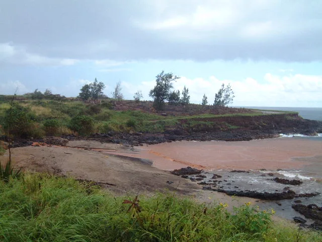
West Side
Glass Beach
At Glass Beach, the resident photographed a small reddish beach with industrial buildings beyond it. His book places the shore behind the power plant and recalls the former dump.
Explore this beach: Glass BeachWest Side
Waimea Plantation Cottages Shoreline
Shade and sunsets were the resident’s lasting impressions of the shore beside Waimea Plantation Cottages. His description pays as much attention to the grounds behind the beach as to the water.
Explore this beach: Waimea Plantation Cottages ShorelineWest Side
Oomano Point (Davidsons)
The resident calls this West Side surf spot Davidsons. What distinguished it for him was how little sand lay between the road and the ocean.
Explore this beach: Oomano Point (Davidsons)